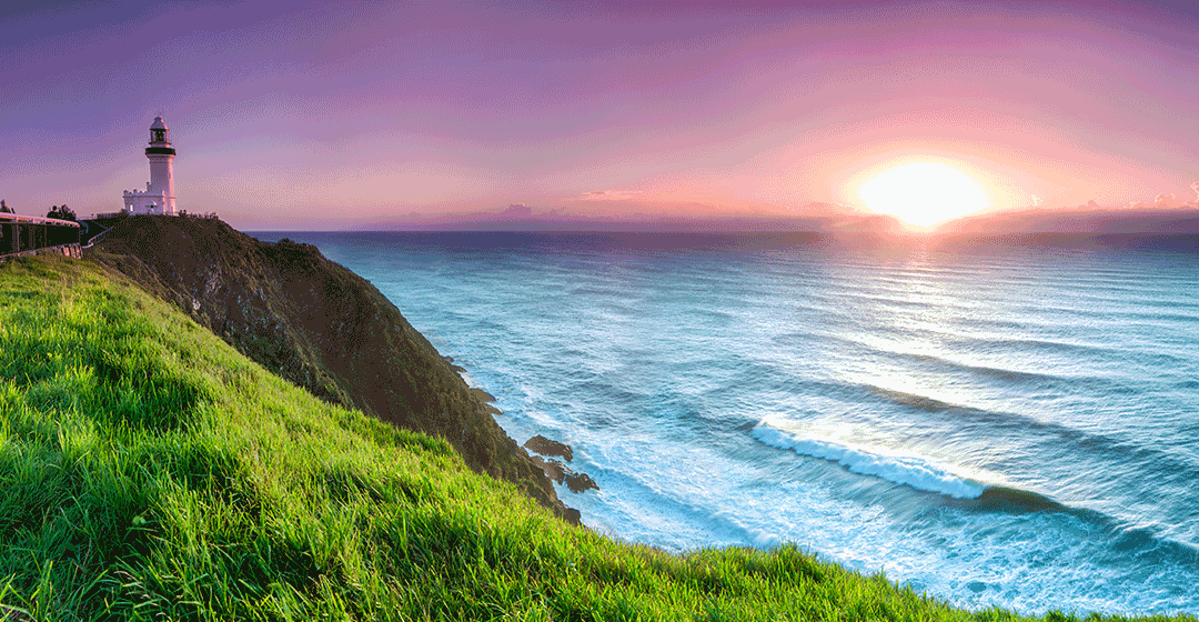
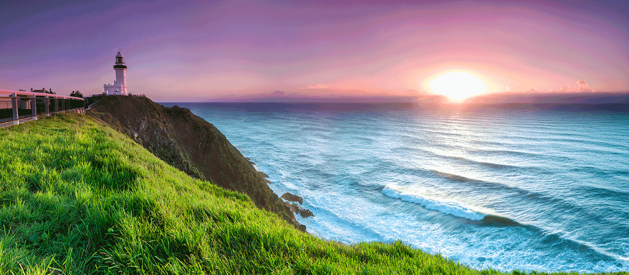
Byron Bay Lighthouse
Cape Byron lighthouse is possibly the most iconic manmade feature in Byron Bay. Hundreds of people visit it every day to soak in the expansive panoramic views it offers from it’s unsurpassed vantage point on the most easterly headland in Australia.
The lighthouse itself was built in 1901 and stood as a powerful light with a range of over 27 nautical miles. Being the most easterly point of Australia, it was a logical place to fill a gap in the chain of navigational lights along the NSW eastern coast.
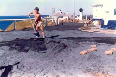
Paving the area around the lighthouse, 1985. Photo: History of Cape Byron Lightstation Precinct, 2008
If you’re looking for things to do in Byron Bay, by far the most interesting way to explore the lighthouse area and Cape Byron itself is on foot. The skies, the sunlight and the landscape itself is always changing and each visit is a different experience. It can be nice to combine this walk with the Byron Bay markets, on the first Sunday of every month.
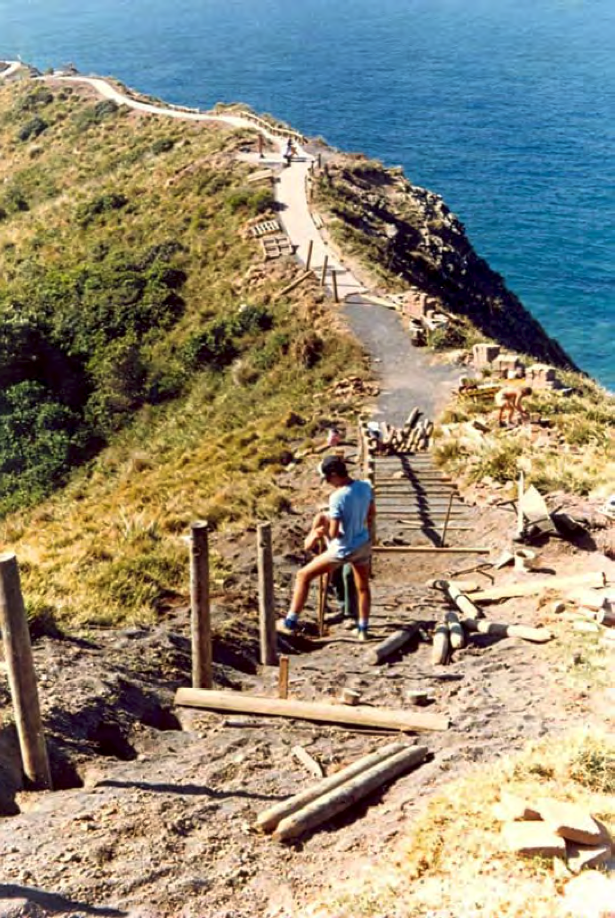
Cape Byron walking track August 1985. Photo: History of Cape Byron Lightstation Precinct, 2008
Cape Byron Walking Track
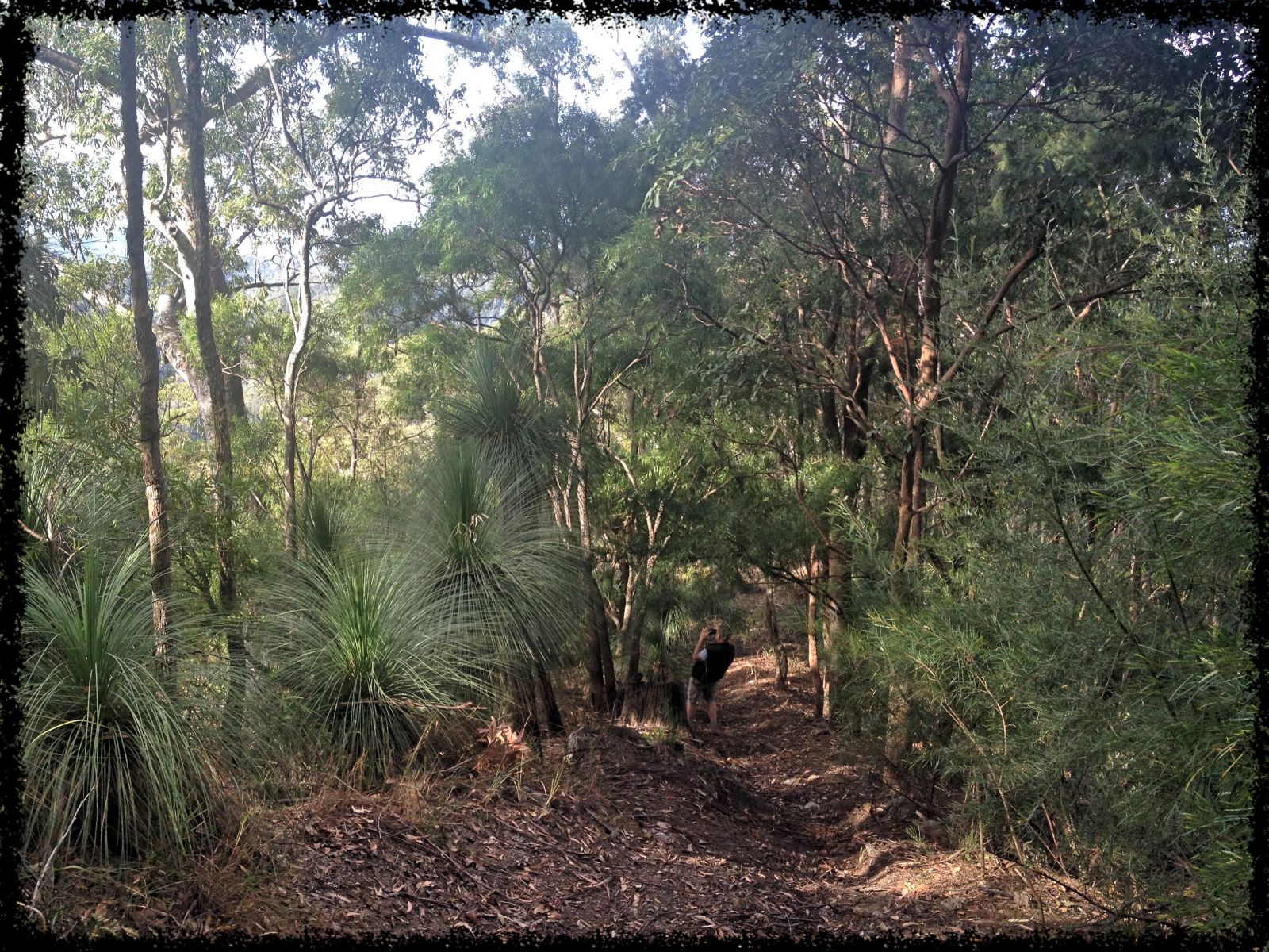
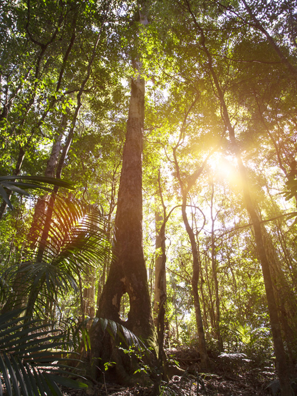
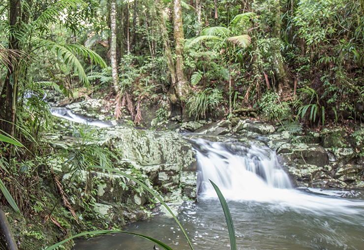
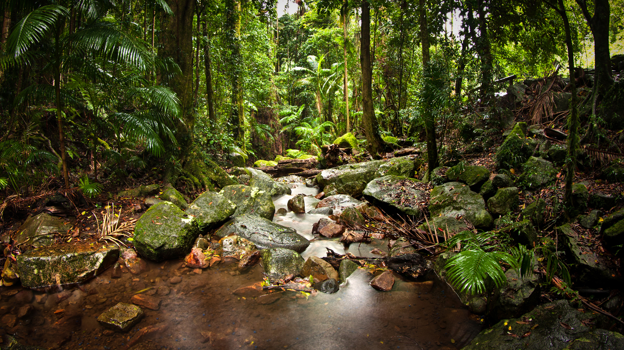
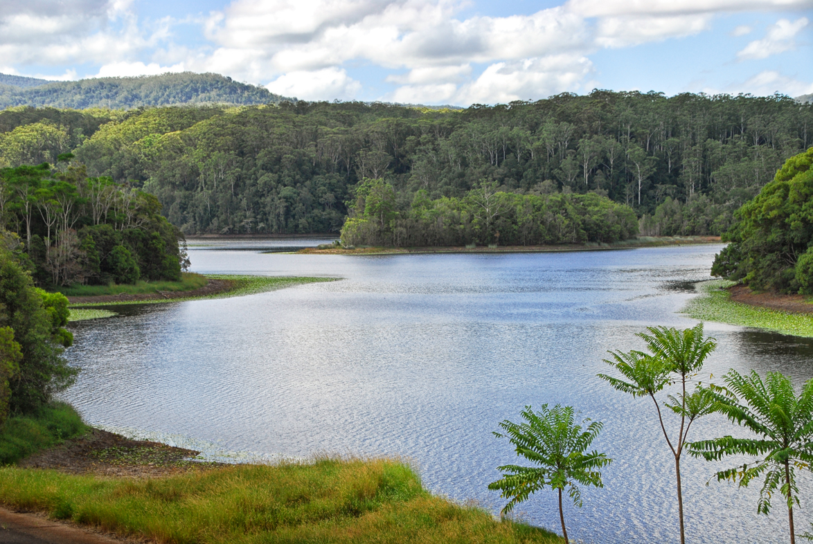
Also known as the Byron Bay Lighthouse Walk, this track was constructed stage by stage in the 1980s. Thankfully it has also been revegetated since then which has allowed kangaroo grass (on the exposed headlands such a Little Wategos headland) as well as lush littoral and sclerophyll forests to return to the cape.
Walking route
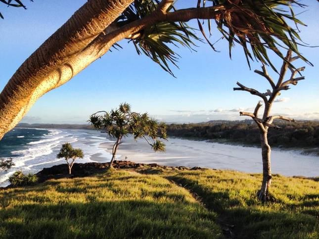
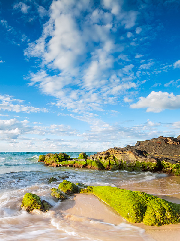
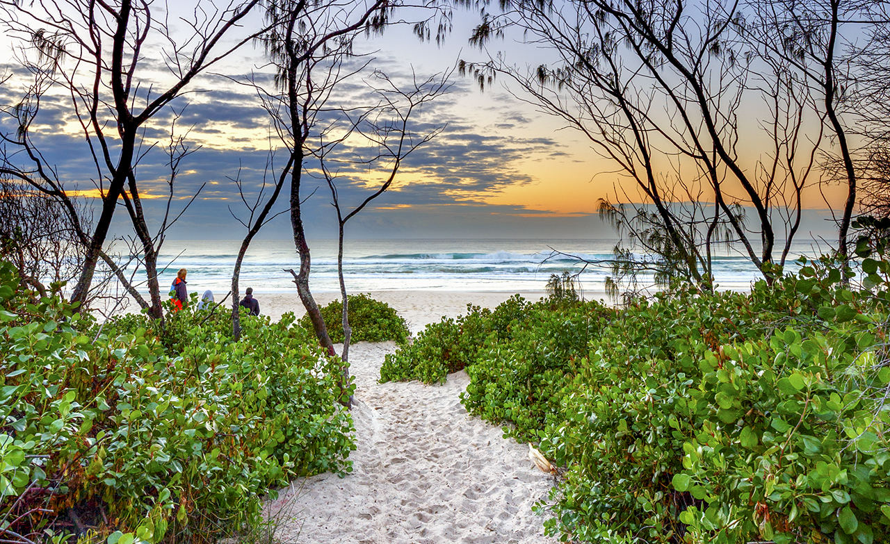
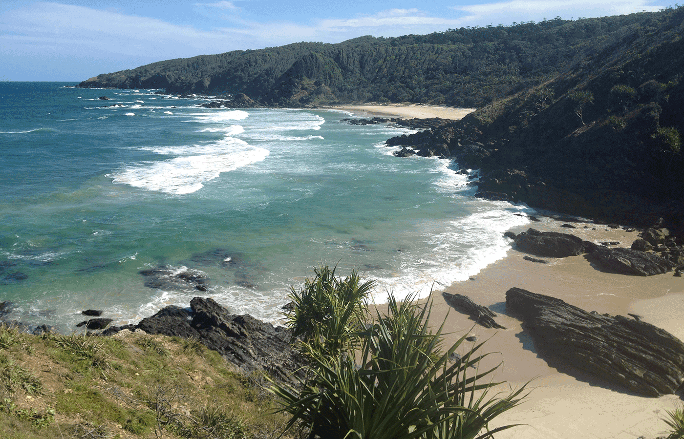
You can start the trail from Clarkes Beach car park by taking the path beside the Beach Cafe down to the beach. On the beach turn right and walk to Captain Cook lookout, identified by wooden steps that lead up the steep outcrop. From there leave the beach and walk up the ramp to The Pass and veer left to pick up the paved track. The track climbs along exposed cliff with the bay to your left followed by a drop down to Wategos Beach.
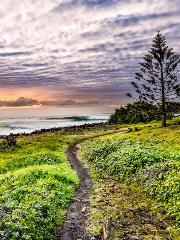
Walk to the end of Wategos beach where the track climbs again along the headland to the Lighthouse, a beautiful area with 360 degree panoramic views. From here, walk downhill towards the Lighthouse Keeper’s Cottages and the Cape Byron Information Centre. Both are worth checking out and if you’re in need of an energy boost, the Cape Café is a nice place to take a break.
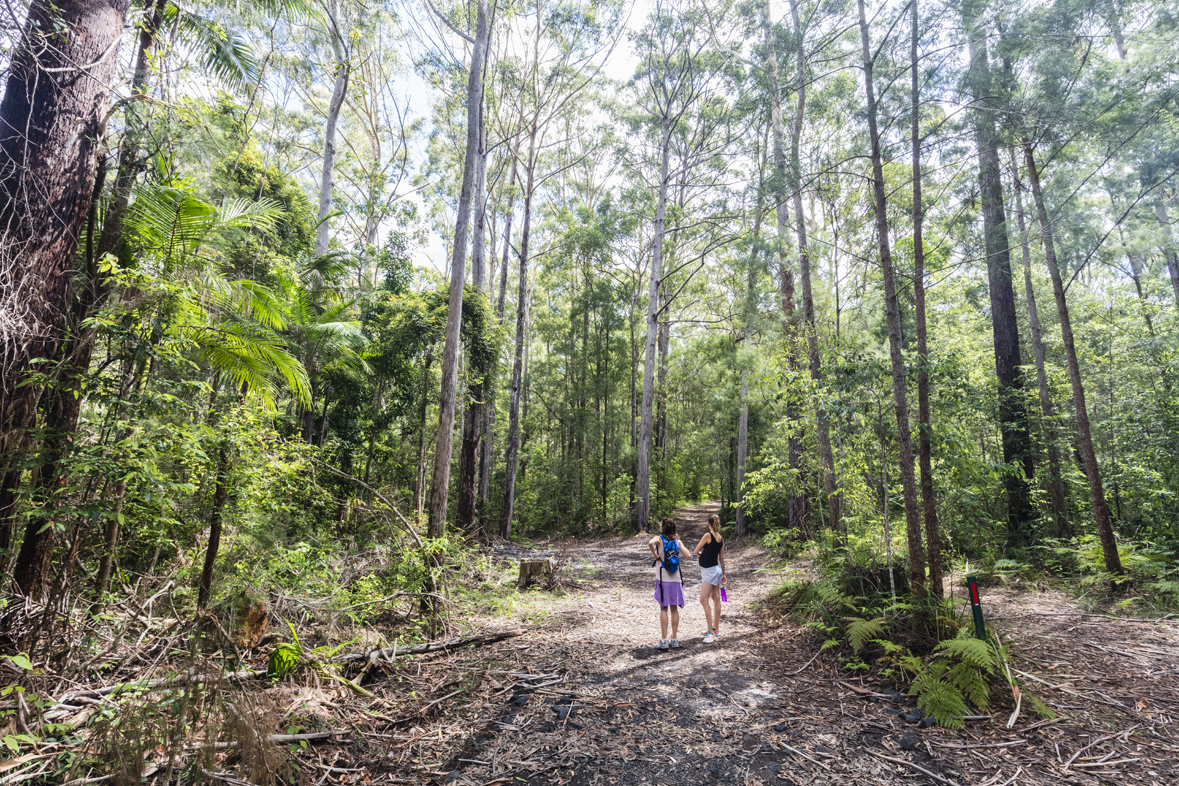
Follow the path along the railing taking in views of Tallow Beach and Broken Head. It eventually takes you past a hang gliding platform and into littoral rainforest. You emerge from the rainforest onto Lee Lane. Walk downhill, cross the road and pick up the pedestrian path heading left and downhill. The path takes you back to Clarkes Beach car park and completes the loop trail.
How long?
The trail itself takes 1-2 hours, depending on how much you like to stop and take in the surrounds. It has a wonderful mix of rainforest and coastal track and it’s many steps make it a good workout so if you’re not fit before you do it you certainly will be by the time you finish!
For more detailed information about this and other walks in the Byron Bay area along with maps and cafés pick up a copy of Byron Trails – a guide of 50 walks accessible from Byron Bay.


Thanks so much for this guide! We often forget just how beautiful the local environment is…