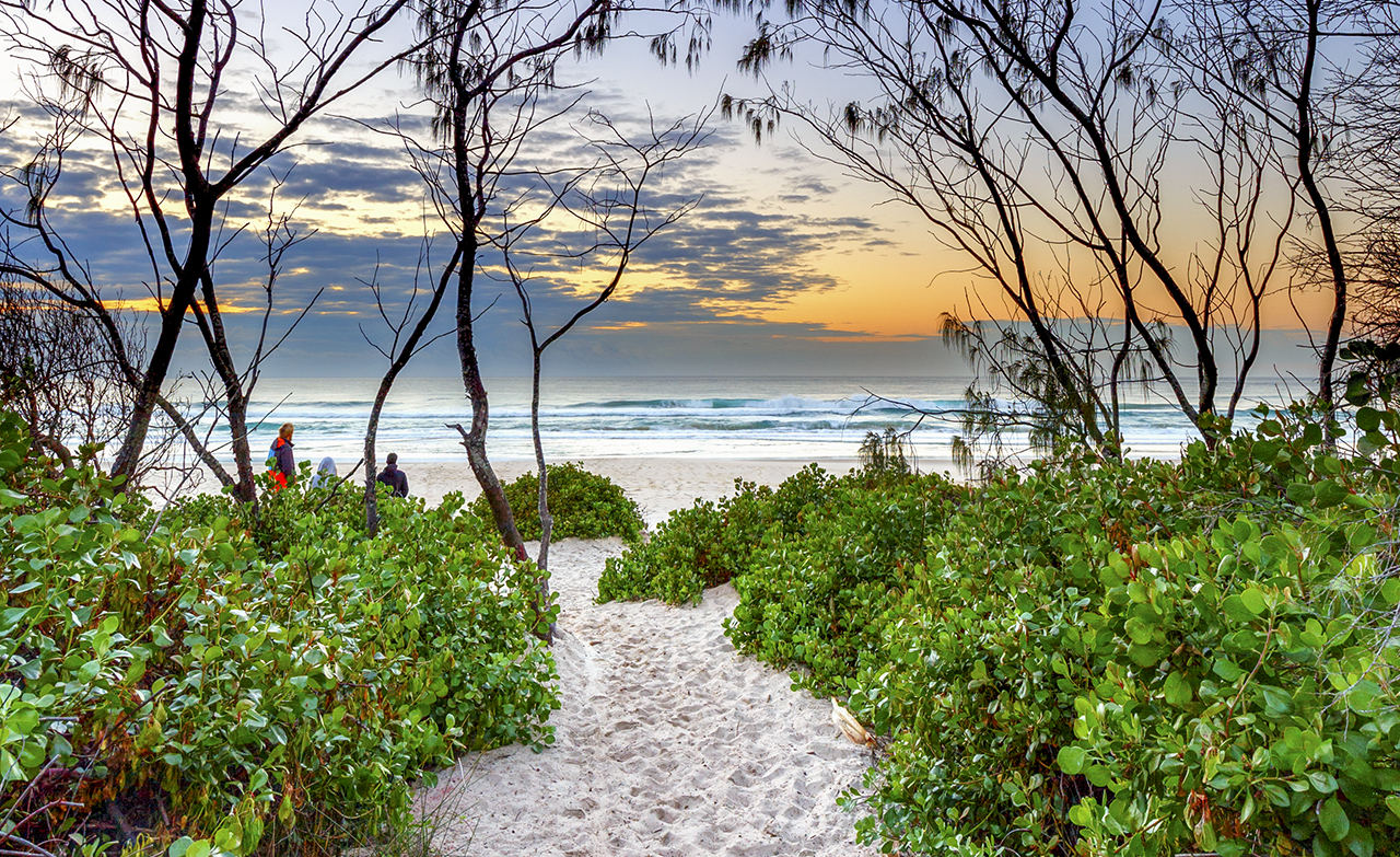
With the unrelenting heat we’re experiencing this summer in Byron Bay, New Zealand makes for an attractive walking holiday right about now. The country is teaming with walking and hiking trails that range from a few hours to many days. And so I took myself off there for a few weeks in January to experience a few more of the countries magnificent ‘tramps’.
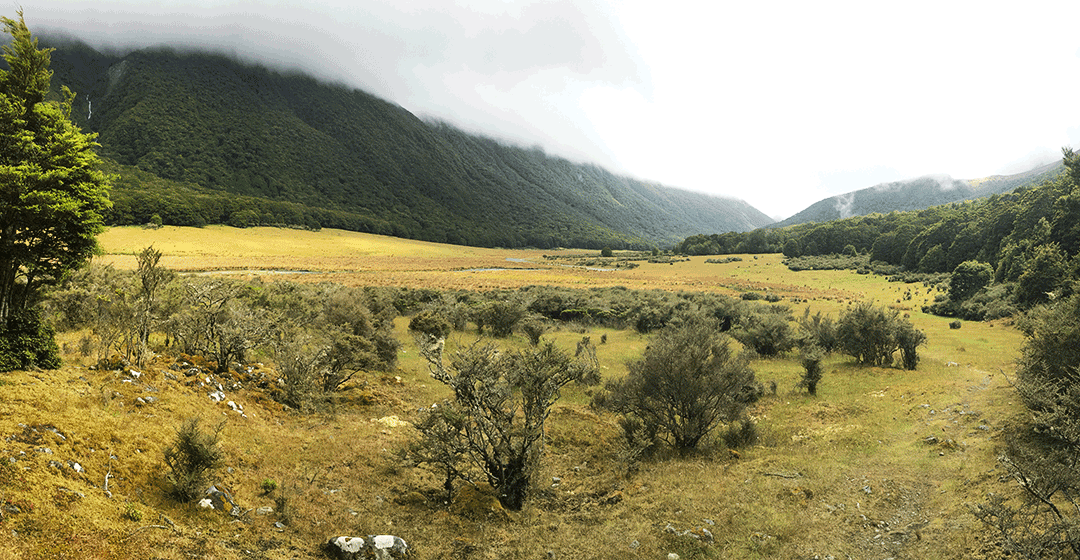
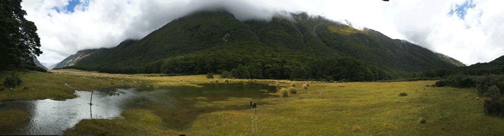
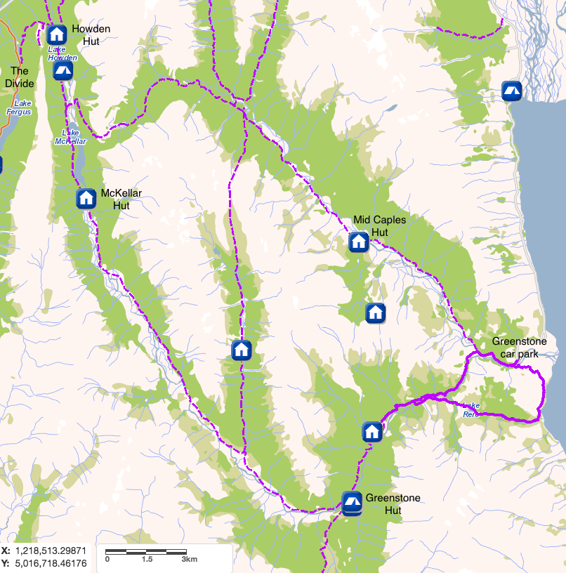
The Greenstone Track is in Central Otago and lies between Queenstown and Milford Sound. Running alongside the Greenstone River, it was traditionally the easiest route between the West Coast and Central Otago for the Maori and was used as a pack track and stock route by the early settlers. It is usually combined with the Caples Track (running alongside the Caples River) by crossing the subalpine McKellar Saddle (945m) which creates a loop track. The track can be started from The Divide to the north or from the Greenstone car park to the south. If walking from the south it’s lovely to stay in the cute Kinloch Lodge the night before setting off as it’s only 12km from the Greenstone car park.
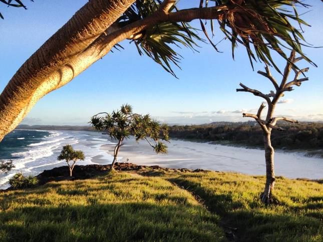
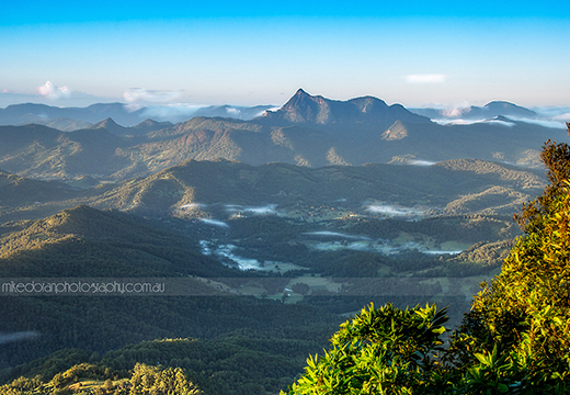
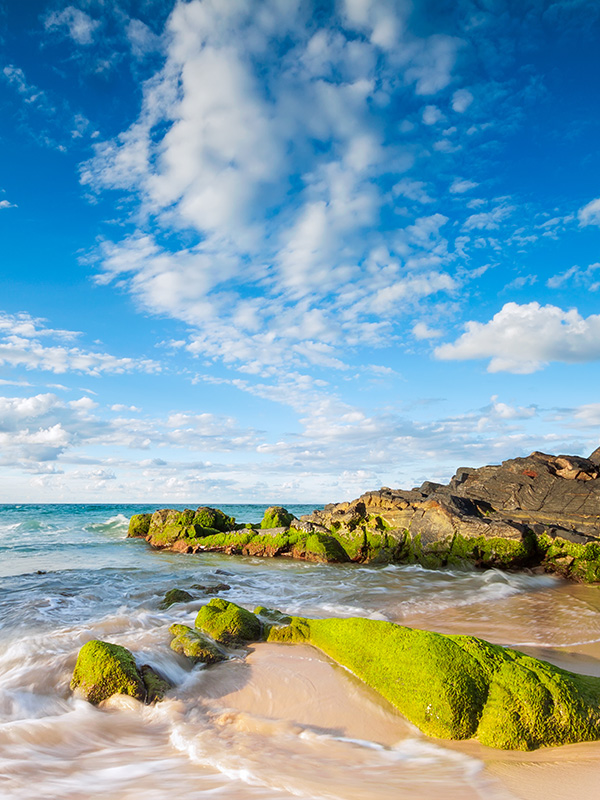
View from Kinloch Lodge
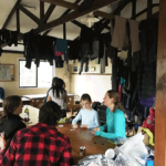
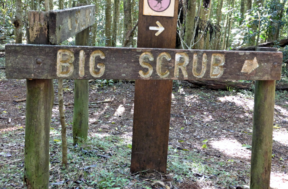
 Most of New Zealand’s tracks are managed and maintained by DOC (Dept of Conservation) and their facilities are second to none, which makes hiking in New Zealand such a pleasure. Signs all along the track guide you in the right direction and give you an idea of how long each leg will take.
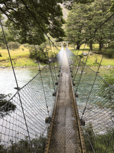
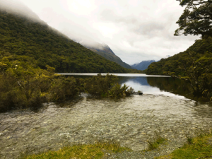
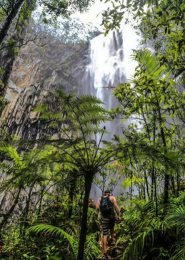
Crossing the Greenstone River
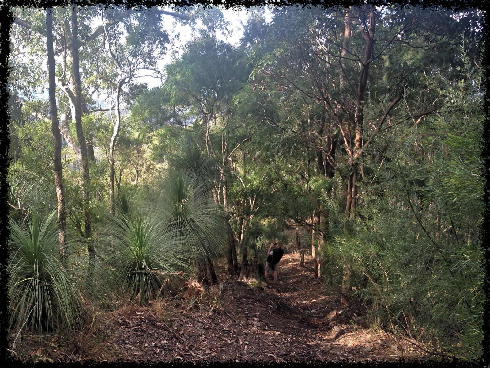
I chose to walk the loop track clockwise from the south and parked in the Greenstone car park. A light drizzle gave a softness to the morning but steadily increased as the day went on. The track meandered through young forest and quickly reached the confluence of the Greenstone and Caples rivers, at which point the track diverges. Heading west over a swing bridge the track entered the Greenstone valley and continued through bush before opening up into Slip Flat. The creek across Slip Flat is crossed by rock hopping although there is an emergency bridge further upstream if the creek is in flood. From here the valley entered a long gorge and narrowed sharply. Eventually the welcome sign for Greenstone Hut appeared. I took the little track left towards the hut dreaming up of a cup of tea and some biscuits!
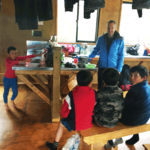 The first sound to be heard entering the hut was the squealing of 4 young boys playing in one of the bunk rooms. The playing and squealing went on all afternoon interspersed with brief silences when snacks and food were being cooked where they would sit as quiet a little mice.
Day 2 started out with very light drizzle which continued all day. The DOC sign on the track suggested allowing 4.5 – 6.5 hours to get to the next hut. I confidently figured 5 hours would get me there. Day 2 was a mixture of beautiful beech forest and wide open tussock-filled valley. The terrain is mostly flat but was far more challenging than I had expected.
Flooding in the flats meant navigating as much as possible not to get completely soaked. Forest floors were a mixture of rock and tree roots, which can be quite exhausting to manoeuvre hour after hour. My confident 5 hour estimate turned into 6.25 hours. More tea and bikkies were in order!
 Day 3 was intended to be a rest day and involved an easy 2 hour walk to Howden Hut on the Routeburn Track. From there I would return to the Greenstone Track and tackle McKellar Saddle and the long walk to Mid-Caples Hut the next day. The rain started just before I set off at 11am and continued to get heavier and heavier as the day went on. I arrived at Howden Hut soaked to the bone carrying a pack that was surely 2kg heavier because of all the water it had taken on. Everything was unpacked, every piece of clothing stripped and placed around the stove in the hopes of drying it all off. A weather report later in the evening told us of a ‘weather bomb’ that had been forecast and was in full force.
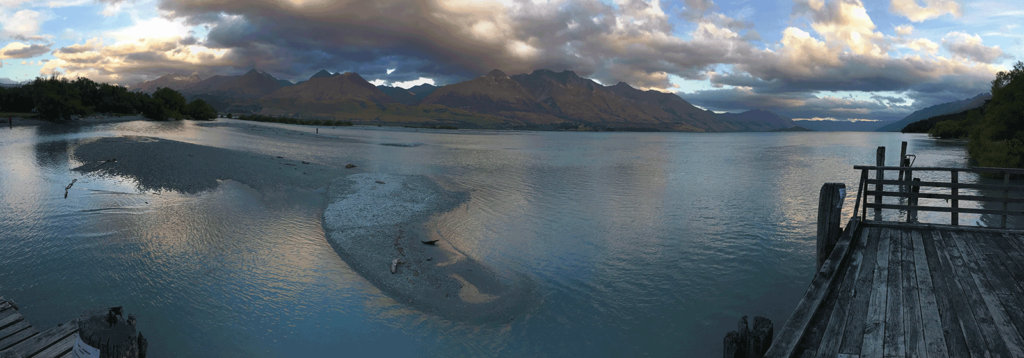
Howden Lake
Daybreak brought views of beautiful snow-capped mountains all around us, and a swollen lake beside the hut. 92mm of rain had fallen overnight, snow had fallen down to 800m and high winds were predicted on the saddles. McKellar Saddle is reported to be impassable after heavy rain and so the 5 day hike was unfortunately cut short.
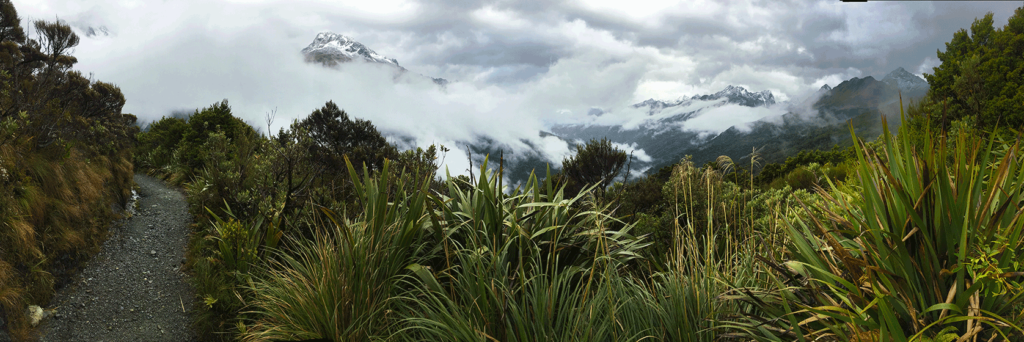
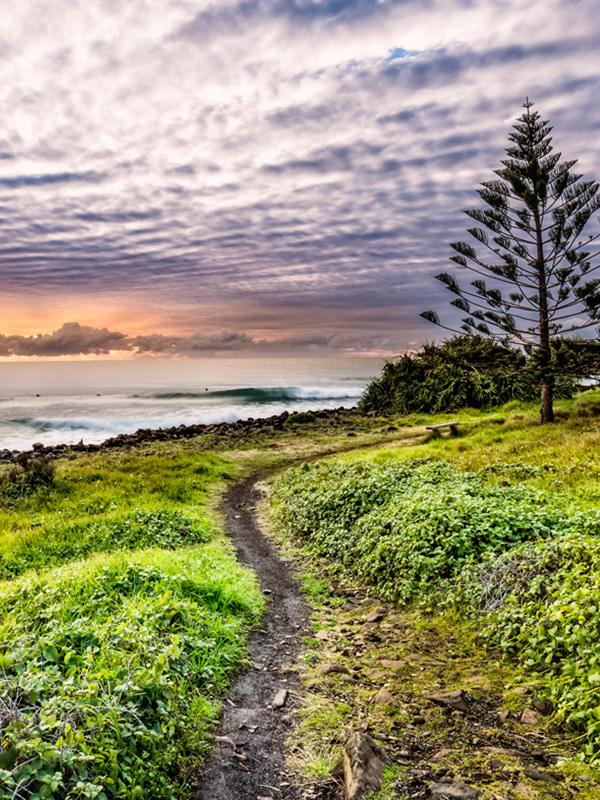
View en route from Howden Hut to The Divide
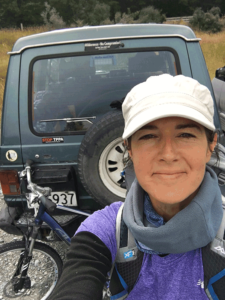
1 hour’s walking brought me out to The Divide, the northern start/end point of the track. From here a bus to Queenstown, a lift to Kinloch and a bike ride brought me back to Greenstone car park and turned the premature end of the hike into an unexpected adventure.
Walking the Greenstone Track from one end to the other is 40km and can be done over 3 days. To walk the Greenstone – Caples loop is 61km and is usually done over 4-5 days. It is considered an easy-moderate track as both tracks run through relatively flat valleys for the most part. An easy-moderate track can upgrade to a difficult track however when weather conditions deteriorate.


bästa säkert, http://sverige-apotek.life/entact.html , on-line pris.